
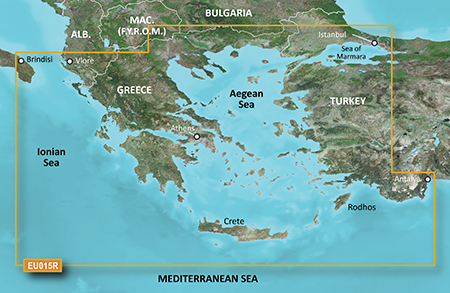
VEU015R - Aegean Sea & Sea of Marmara - 010-C0773-00 - Garmin
- Brand: Garmin
- Product Code: 010-C0773-00
- Availability: In Stock
- $351.35
- Ex Tax: $351.35
See your vessel’s precise, on-chart position in relation to navaids, coastal features and restricted areas with premium features found in this detailed marine mapping data. Includes all of the features of our BlueChart® g2 product, plus 3-D perspective above and below the waterline, Auto Guidance, high-resolution imagery, and aerial photos of ports, harbors, marinas and landmarks.
> Shaded depth contours, coastlines, spot soundings, navaids, port plans, wrecks, obstructions, intertidal zones, restricted areas and IALA symbols.
> Seamless transitions between zoom levels and more continuity across chart boundaries.
> High resolution satellite imagery for a realistic view of the land and water.
> Aerial photos of ports, harbors, marinas, waterways, navigational landmarks and other POIs.
> Auto Guidance technology searches chart data to suggest the best passage to a destination.
> MarinerEye view 3-D perspective for a quick, easy position fix.
> FishEye view 3-D perspective for an underwater view of the sea floor.
> Safety Shading* enables contour shading for all depth contours shallower than your defined safe depths.
> Fishing Charts* to scope out bottom contours and depth soundings with less visual clutter on the display.
> Plan and organize routes from your computer with HomePort™ (sold separately)
Including all of the Greek coast and Aegean Sea; Turkey from Istanbul and Sea of Marmara to Antalya; and Brindisi, Italy.
Tags: Blue Chart,