-
Diving
- Bags
- BCDS
- Belts
- Chargers & Batteries
- Cylinders
- Diving Sets
- DPV Scooters
- Dry Boxes
- Fins
- General Accessories
- Instruments
- Knives
- Lifting Bag
- Masks
- Neoprene Accessories
- Regulators & Octopus
- Sets and Combo
- Signaling Buoys
- Snorkels
- Speargun Accessories
- Spearguns
- Suits
- Torches
- Underwater Cameras & Parts
- Underwater Communication Systems
- Watches
- Fishing
- Boating
- Engine
- Sports
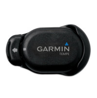
- GARMIN
- INDUSTRIALS
- Solar Energy
- SPECIAL OFFERS
- CONTACT US


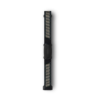
Oregon 550 - 010-00697-XX - Garmin
- Brand: Garmin
- Product Code: 010-00697-XX
- Availability: In Stock
- $441.44
- Ex Tax: $441.44
Rugged Touchscreen Navigation
- 3" sunlight-readable touchscreen display
- 3.2 MP autofocus, digital zoom camera
- 3-axis compass with accelerometer and barometric altimeter sensors
- microSD™ card slot
The navigator with the photographic memory! Oregon 550 combines rugged outdoor touchscreen navigation with a digital camera. It is perfect for all activities, in any climate, on any terrain, yet simple enough for beginners to master.
Take Pictures and Save Locations
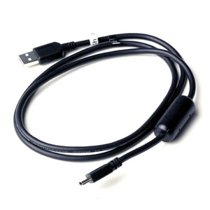
Oregon 550's 3.2 megapixel autofocus digital camera with 4x digital zoom automatically. geotags each photo with the location of where it was taken, allowing you to mark, remember and navigate back to that exact spot in the future. You can take and view pictures in landscape or portrait, and 850 MB of internal memory offers ample storage. Connect Oregon 550 via USB and log into my.Garmin.com to upload and store your photos at Picasa™, a popular online photo sharing community.
Touch and Go
Oregon 550 has a tough, 7.62 cm (3 in) diagonal, sunlight-readable, colour touchscreen display with a simple-to-use menu system. Both durable and waterproof, Oregon 550 is built to withstand the elements.
Get Your Bearings
Oregon 550 has a built-in 3-axis tilt-compensated electronic compass, which shows where you're heading even when you’re standing still, without holding it level. Its barometric altimeter tracks changes in pressure to pinpoint your precise altitude.
With high-sensitivity, WAAS-enabled GPS receiver and HotFix® satellite prediction, Oregon 550 locates your position quickly and precisely and maintains its GPS location even in heavy cover and urban landscapes.
Add Maps
Oregon 550 comes preloaded with a worldwide built-in basemap with shaded relief. You can add maps for walking, driving and for use out on the water.
On the trail Garmin GB Discoverer™ microSD™ card gives topographic and Ordnance Survey map detail, showing terrain contours, summits, trails and more.
On the road you can add Garmin GB Discoverer or City Navigator® mapping for detailed street maps and turn-by-turn directions to your destination.
On the water you can add BlueChart® g2 maps which provide information such as depth contours, full charting and harbours.
Go Geocaching
Go paperless with Oregon 550 by quickly downloading information from Opencaching.com for up to 5,000 caches, such as location, terrain, difficulty, hints and description.
Use for running or cycling
The Oregon is compatible with Garmin’s heart-rate monitors and speed/cadence sensors and can track your speed, distance, elevation and location.
Share Wirelessly
With Oregon 550, you can share your waypoints, tracks, routes and geocaches wirelessly other Oregon and Colorado® users. Now you can send your favorite route to a friend to enjoy or the location of a cache to find. Sharing data is easy. Just touch "send" to transfer your information to similar devices.
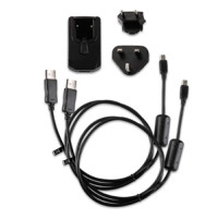
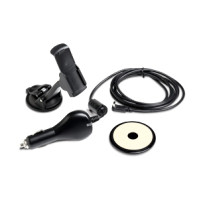
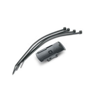
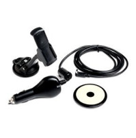
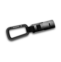
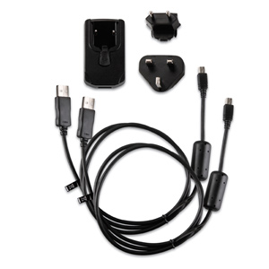
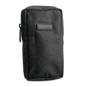
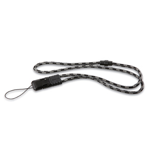
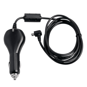
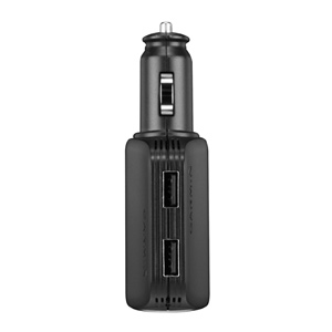
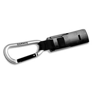
What's in the box:
Oregon 550
- Oregon 550
- AA battery charger
- 2 AA NiMH batteries
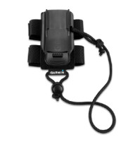
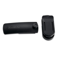
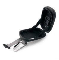
- Carabiner clip
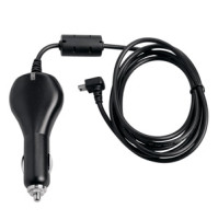
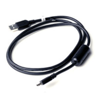
- USB cable
- Quickstart Guide
| Physical & Performance | |
| Camera | yes (3.2 megapixel with autofocus; 4x digital zoom) |
| Physical dimensions | 2.3" x 4.5" x 1.4" (5.8 x 11.4 x 3.5 cm) |
| Display size, WxH | 1.53"W x 2.55"H (3.8 x 6.3 cm); 3" diag (7.6 cm) |
| Display resolution, WxH | 240 x 400 pixels |
| Touchscreen | Yes |
| Battery | 2 AA NiMH batteries (included) |
| Battery life | 16 hours |
| Water rating | IPX7 |
| High-sensitivity receiver | Yes |
| Barometric altimeter | Yes |
| Electronic Compass | Yes (tilt-compensated 3-axis) |
| Display type | Transflective colour TFT touchscreen |
| unit-to-unit transfer | Yes |
| Interface | high-speed USB and NMEA 0183 compatible |
| Garmin Connect® | |
| Garmin Connect™ compatible | Yes |
| Maps & Memory | |
| Ability to add maps | Yes |
| Accepts data cards | microSD™ card (not included) |
| Basemap | Yes |
| Built-in memory | 850 MB |
| Custom POIs (ability to add additional points of interest) | Yes |
| Routes | 200 |
| Track log | 10,000 points, 200 saved tracks |
| Waypoints/favorites/locations | 2000 |
| Outdoor Features | |
| Area calculation | Yes |
| Automatic routing (turn by turn routing on roads) | Yes (with optional mapping for detailed roads) |
| Custom maps compatible | Yes |
| Geocaching-friendly | Yes (Paperless) |
| Picture viewer | Yes |
| Tide Tables | Yes (with optional Bluechart) |
| Hunt/fish calendar | Yes |
| Sun and moon information | Yes |
| Additional | |
| Additional | This USB mass storage device is compatible with Windows® XP or newer and Mac® OS X 10.4 or later. |


Tags: oregon 550, handheld gps,
Azzi Sport Copyright @2023
Developed by Software Senior
